GNSS multi-measurement tool
Measurement reimagined: The viDoc includes a GNSS module, a ground laser and a front laser.
viDoc®
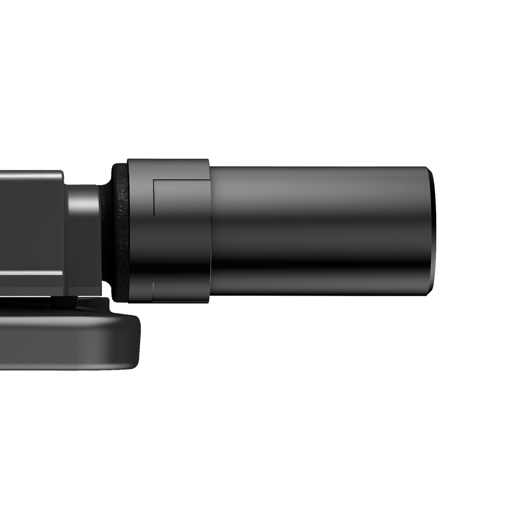
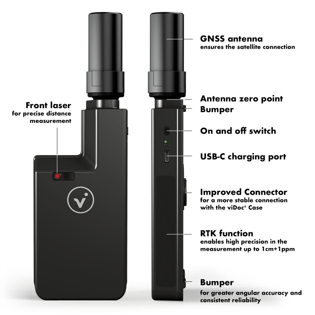
GNSS antenna
Ensures RTK precision in smartphone
viDoc®
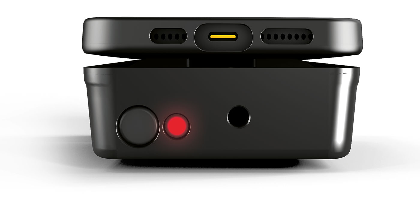
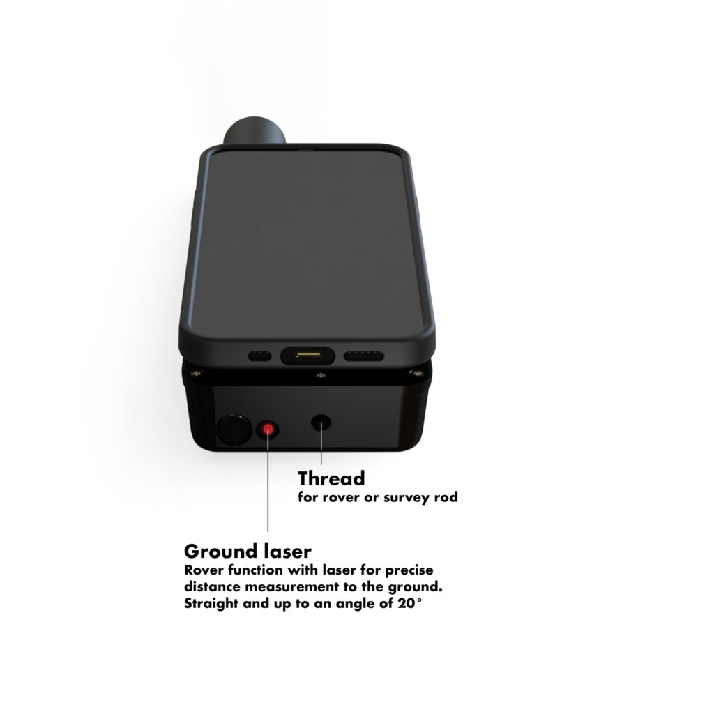
The ground laser
Rover function via laser for exact distance measurement to the ground, to record control points or terrain points.
viDoc®
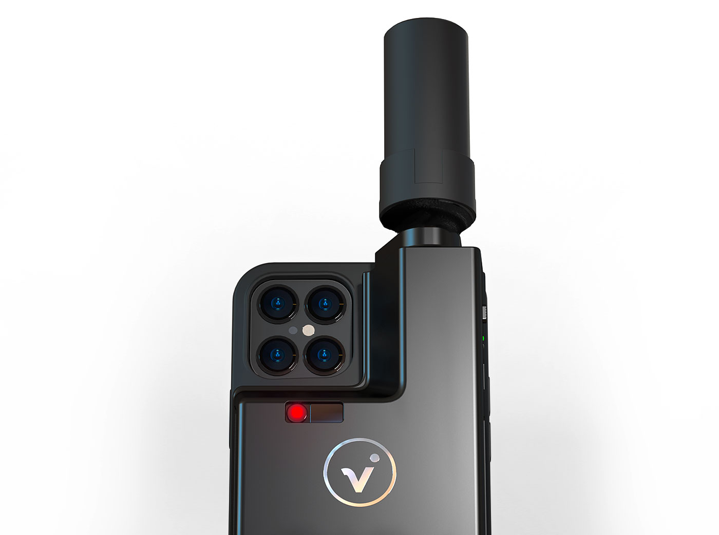
The front laser
Precise distance measurement for GIS applications and BIM documentation.
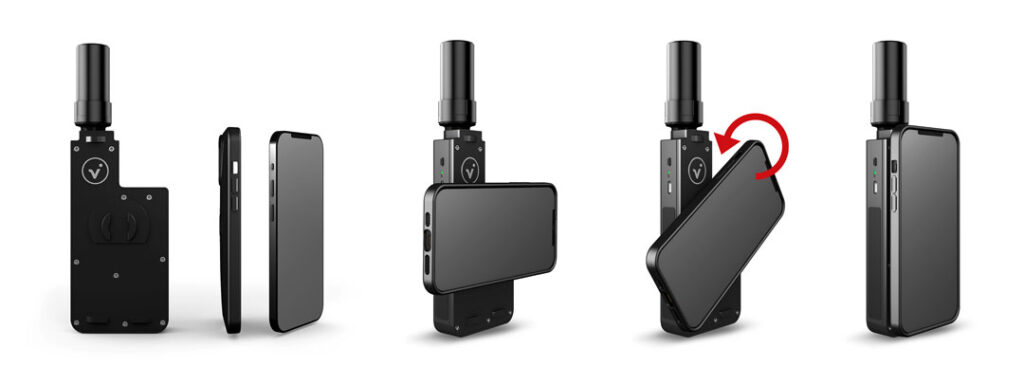
Functional Overview
It‘s so easy to turn your smartphone into a professional measurement tool: