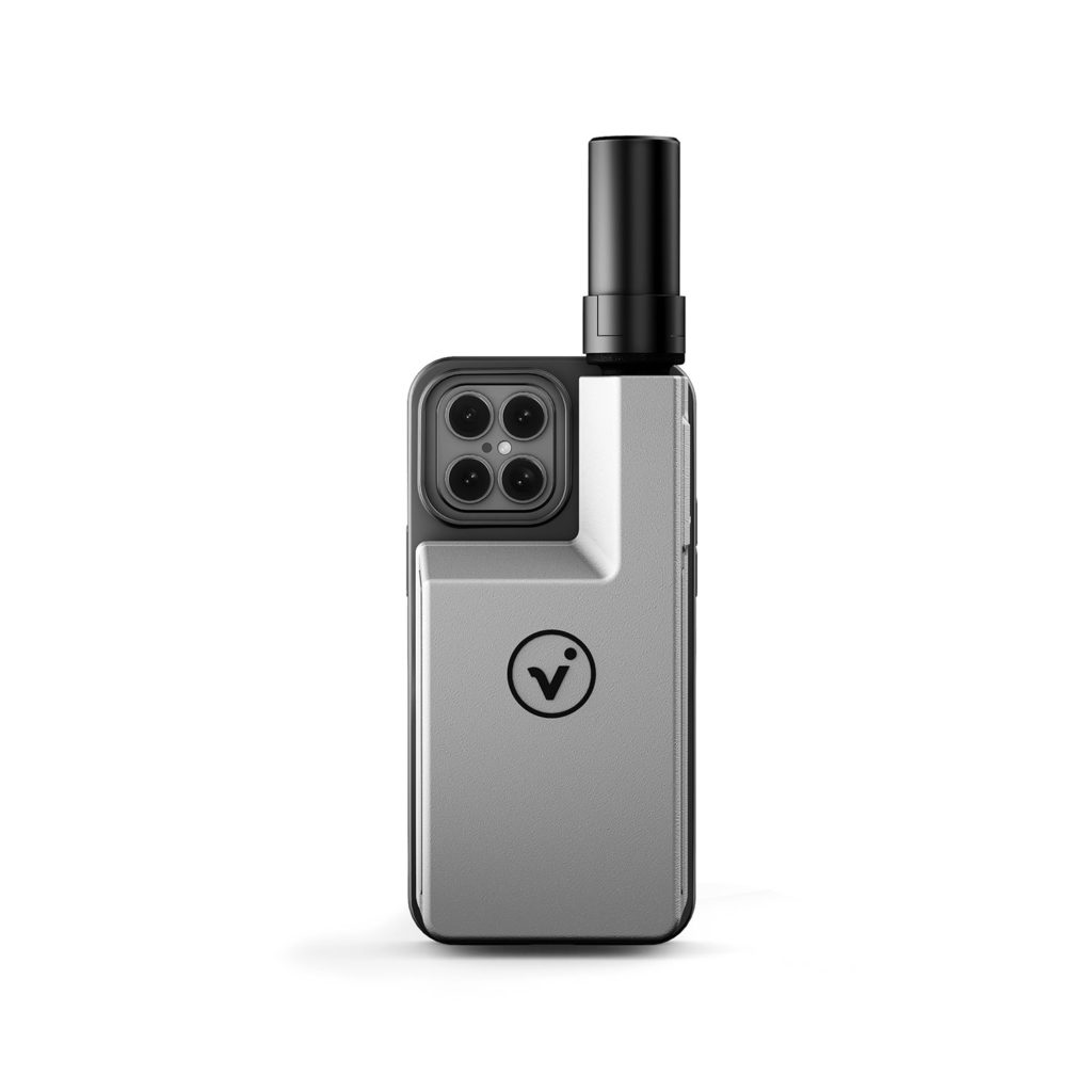
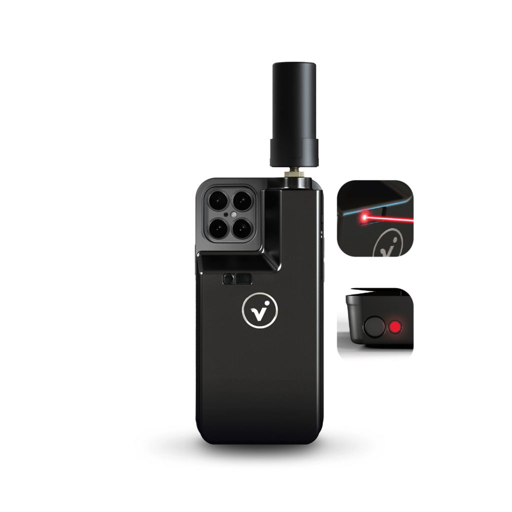
viDoc® models in comparison
Multi-measurement with the smartphone: Single points, scanning, photo documentation.
Georeferenced with RTK accuracy.
Ideal use cases:
GNSS rover
3D scanner
AR-BIM-to-FIELD
GIS documentation
BIM construction site documentation
Focus on light and fast scanning with the smartphone.
Georeferenced with RTK accuracy.
Ideal use cases:
3D scanner
AR-BIM-to-FIELD
GNSS rover