Air Inspect Australia
Air Inspect Australia delivers end-to-end spatial data solutions that help clients plan, build, inspect and manage assets with confidence. We:
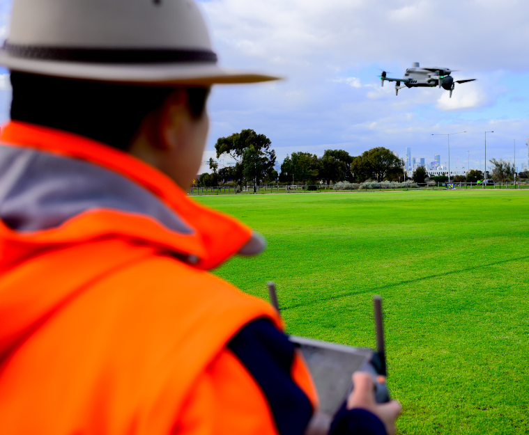
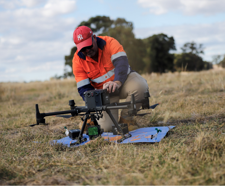
Capture high-accuracy aerial and ground-based data using drones, LiDAR, photogrammetry and mobile surveying technologies
Process and model data into practical deliverables including point clouds, DTMs, contours, 3D models, Scan-to-BIM outputs, and digital twins
Provide inspection and condition assessment services for complex, large-scale and hard-to-access assets
Enable smart surveying and rapid site capture through integrated solutions such as viDoc
Support projects with visualisation, analysis, industry-recognised skills training courses, and technology supply—underpinned by a strong focus on safety, accuracy and efficiency

Industry & sectors
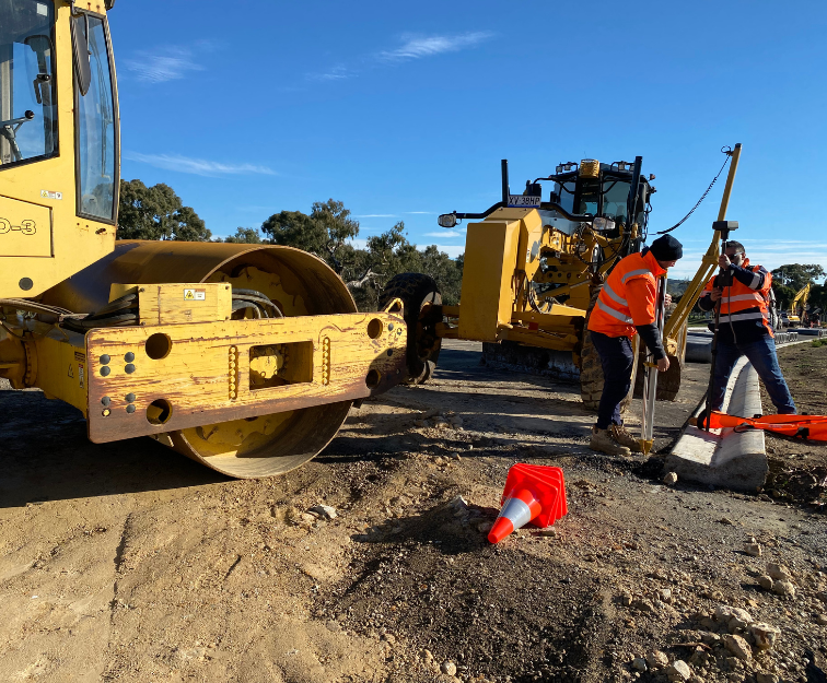
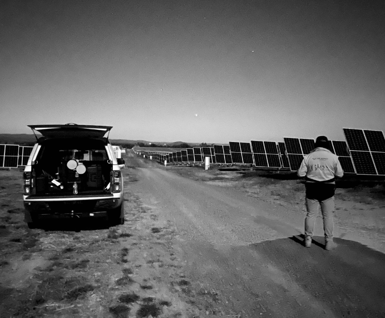
Air Inspect Australia focuses on providing advanced aerial and reality-capture solutions across a broad set of industries and sectors where accurate spatial data drives better decision-making and project outcomes. Their work supports civil and construction, infrastructure and utilities (including power, water and transport networks), rail and logistics, land management and environmental conservation, telecommunications asset inspection, as well as commercial property and high-rise building assessments. They also serve applications in solar farm surveys, asset maintenance & management, and other asset-intensive environments where inspection, mapping and 3D modelling deliver value.
Expertise
Air Inspect Australia provides specialist expertise in advanced aerial surveying, inspection and spatial data capture, combining drones, LiDAR, photogrammetry and mobile mapping to deliver high-accuracy 2D and 3D reality data for infrastructure, construction, utilities and environmental projects. Beyond data capture, Air Inspect Australia delivers professional processing, modelling and visualisation workflows—producing point clouds, DTMs, contours and digital twins using industry-leading platforms. Their capability is further strengthened by integrating smart ground-based surveying solutions such as viDoc, enabling rapid, survey-grade data capture in challenging environments where drones alone are not practical. This end-to-end approach allows clients to move seamlessly from field capture to actionable insights with confidence in accuracy, safety and efficiency.
Software for further processing with viDoc & viDoc light data
- Bentley iTwin Capture Modeler
Locations
- Melbourne, Australia
- Gold Coast, Australia
- Launceston, Australia
Sales area
- Australia
- New Zealand
Contact
- Phone: 1300 754 407
- Email: [email protected]
- Website: airinspect.com.au
- Webstore: airinspectstore.com.au